

Did you ever want to add high-resolution maps of your trips to your photo album? No problem with myPhotoMap.
You can select from a broad variety of map types: OpenStreetMap Mapnik, MapQuest, OpenCycleMap and Cloudmade. Additionally satellite maps from NASA BlueMarble can be used.
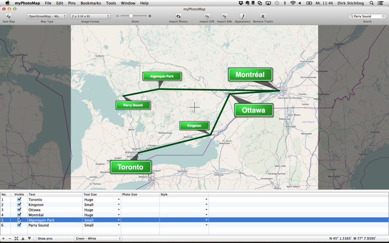
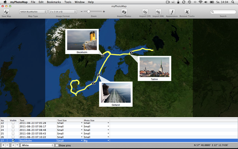
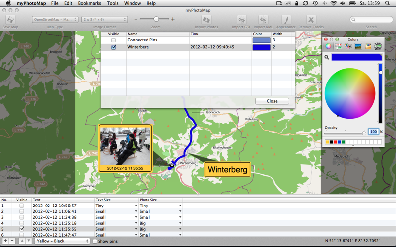
Additionally you can add photos to your map. Simply import JPG or other photo files and they are placed on the map automatically if the contain GPS information. If not, you can add them to the map manually.
To get the best result you can move the photos and additional annotations on the map, configure the size of the photos. You can even import and display GPS tracks and configure the appearance of the tracks.
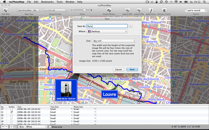
Finally you can export the shown map as a high resolution JPG file.
Creating high-resolution maps for your photo album, photo book or slideshow is so easy:
1) Select the photo format
2) Select the region of the map you are interested in
3) Add pins and annotations to the map (optional)
4) Import GPX or KML files if you have track logs (optional)
5) Save the map as a high-resolution JPG file
Afterwards you can either integrate the JPG into a slideshow or you use it for a photo book or simply print the map.